Los Gatos Has a New Fire Zone Map. Here Is What It Changes for Owners.
Why This Matters in Los Gatos
Of the roughly 7,900 parcels in this market with known construction dates, more than 5,800 were built before 1980 — the era before wildland-urban interface building standards existed. A significant share of those sit on the hillside lots that characterize the town's western neighborhoods: among single-family parcels tracked here, 1,216 are an acre or larger and another 2,272 fall between 10,000 square feet and an acre. Steep terrain, oak woodland, and a Mediterranean climate are exactly the conditions that the state's mapping model weights most heavily. The 2025 maps made the zone designations on those parcels official in a way the old maps did not.
Los Gatos's homes, from the record
| Built | Homes |
|---|---|
| before 1940 | 967 |
| 1940-1959 | 1,584 |
| 1960-1979 | 3,263 |
| 1980-1999 | 1,151 |
| 2000 or later | 940 |
| Single-family homes | 6,199 |
|---|---|
| Median lot | 10,878 sq ft |
| On an acre or more | 1,216 |
| Median size | 2,256 sq ft |
7,905 of 8,307 parcels in this market's record have a known build year.
What Changed With the 2025 Maps
CAL FIRE released updated Fire Hazard Severity Zone maps for Local Responsibility Areas in February 2025, replacing maps developed in 2007–2009. The update was not a minor revision. Senate Bill 63 (Stern, 2021) now requires adoption of all three fire hazard severity zone classes — Moderate, High, and Very High — in Local Responsibility Areas. Previously, only Very High zones were required for adoption in Local Responsibility Areas.
In plain terms: where the old maps drew a single "Very High" boundary and left everything else unclassified, the new maps place every parcel into one of three tiers or into no zone at all. For some Los Gatos owners who assumed they were outside any designated zone, that assumption no longer holds.
The State Fire Marshal identifies zones based on consistent statewide criteria and the severity of fire hazard expected to prevail in those areas; each zone is based on fuel loading, slope, fire weather, and other relevant factors, including areas where winds have been identified as a major cause of wildfire spread. The maps measure long-run hazard, not immediate risk. "Hazard" is based on the physical conditions that create a likelihood and expected fire behavior over a 30 to 50-year period without considering mitigation measures such as home hardening, recent wildfire, or fuel reduction efforts.
How Los Gatos Adopted the Maps
At the Town Council meeting of June 6, 2025, the Council adopted Resolution 2025-037 to approve the Fire Hazard Severity Zones Map to comply with State Government Code Section 51178 and an amendment of the General Plan Hazards and Safety Element to incorporate the map. At the June 17, 2025 meeting, the Council adopted Ordinance 2374 approving the Fire Hazard Severity Zones Map. The maps are now in effect as Town law.
One constraint worth noting: if a local jurisdiction wants to alter the state-recommended maps, fire zones may only be increased and not decreased in severity. Los Gatos had no authority to move a parcel into a lower zone than the state assigned.
How to Check Your Own Parcel
The state provides an address-level lookup tool. You can enter your address to locate your property on a map showing Fire Hazard Severity Zones; the combined LRA data covers all four phases of the 2025 rollout. That viewer is the starting point, but the Town's own adopted map controls locally — and the two can differ where the Town made upward adjustments.
The state viewer omits LRA areas zoned as Moderate because real estate inspections are only required in High and Very High zones; to verify your Fire Hazard Severity Zone in an LRA, contact your local agency. For Los Gatos parcels, that means checking with the Town directly or reviewing the adopted map linked on the Town's Local Responsibility Fire Hazard Severity Zone page.
What the Zone Means at the Point of Sale
On and after July 1, 2021, when you sell property located in a High or Very High fire hazard severity zone, you need documentation of a compliant Defensible Space Inspection. That requirement predates the new maps, but the maps now determine which parcels fall under it — so owners who were previously unclassified and are now designated High or Very High are subject to the inspection requirement when they sell.
Property sellers must disclose FHSZ designations during real estate transactions. The Natural Hazard Disclosure statement that buyers receive in every California transaction includes fire zone status. An attorney or a licensed natural hazard disclosure company can advise on the specific disclosure obligations for your parcel.
What the Zone Means for Building Permits
The LRA FHSZ maps are used to inform land-use decisions, building standards, and wildfire mitigation practices. Properties identified within High or Very High zones may be subject to California Building Code Chapter 7A and defensible space requirements pursuant to Public Resources Code 4291.
The Town's adopted building codes already reference WUI requirements. The WUI code applies to building materials, systems, and assemblies used in the exterior design and construction of new buildings, and additions or alterations to existing buildings, located within a Wildland-Urban Interface area. Starting January 1, 2026, the framework changes: CRC R337 and CBC Chapter 7A have been removed and consolidated into Part 7 of the California Building Standards Code. The California Building Standards Commission released the new 2025 California Building Standards Code, which becomes effective January 1, 2026; the Town Council approved local amendments on December 2, 2025 (Ordinance 2380), which will also be effective January 1, 2026.
If you are in a High or Very High zone and you are planning any exterior work — a reroofing, an addition, a deck, a vent replacement — confirm with the Town's Building Division what ignition-resistant standards apply to your project before you design it. Requirements for alterations differ from those for ground-up construction, and what was permitted under the 2007 map may now be reviewed differently. The building department decides, not the internet.
Defensible Space: The Ongoing Obligation
A zone designation is not a one-time paperwork event. State law under Government Code 51182 requires homeowners to manage vegetation and create defensible space surrounding structures to reduce wildfire risks. 100-foot defensible space clearance is mandatory around structures in Very High zones, and new construction and renovations in designated zones must adhere to WUI building codes.
Los Gatos has been investing in its own wildfire preparedness infrastructure. In September 2025, the Town submitted a FEMA Hazard Mitigation Grant Program application for an Outdoor Emergency Warning System serving WUI neighborhoods. Also in August 2025, the Town submitted a CAL FIRE Wildfire Prevention Planning grant for a town-wide Evacuation Plan with simulation-based modeling. The maps are one layer of a larger regulatory picture that is still being built.
Where to Check
Town of Los Gatos – Local Responsibility Fire Hazard Severity Zone: The Town's adopted map, ordinance, and resolution. The primary source for Los Gatos parcels.
Office of the State Fire Marshal – FHSZ Viewer: Address-level lookup for state-recommended zones; covers all 2025 LRA phases.
OSFM – LRA FHSZ Maps and Real Estate Inspection Information: Details on the defensible space inspection requirement triggered at sale.
Town of Los Gatos – Wildfire Preparedness: Town's active grant applications, vegetation management timeline, and emergency planning updates.
Town of Los Gatos – Current Adopted Codes: WUI and building code provisions in effect locally, including the January 1, 2026 updates.
Tim McMullen · CA DRE #02016832
[email protected] · (415) 691-9272
- https://www.losgatosca.gov/2983/Local-Responsibility-Fire-Hazard-Severit
- https://www.losgatosca.gov/3015/Wildfire-Preparedness
- https://osfm.fire.ca.gov/what-we-do/community-wildfire-preparedness-and-mitigation/fire-hazard-severity-zones
- https://osfm.fire.ca.gov/what-we-do/community-wildfire-preparedness-and-mitigation/fire-hazard-severity-zones/fire-hazard-severity-zones-maps
- https://www.losgatosca.gov/1102/Current-Adopted-Codes
- https://abag.ca.gov/sites/default/files/documents/2025-11/WildfireAndHousingResourceGuide8_2025.pdf
- https://data.ca.gov/dataset/fire-hazard-severity-zone-viewer1
More from Los Gatos
Clean Your Gutters Before the First Rain Hits Los Gatos
More than 5,800 homes in this parcel record were built before 1980. Older rooflines, mature trees, and the foothills' oak-and-redwood canopy make September the right month to get up there before the rain does.
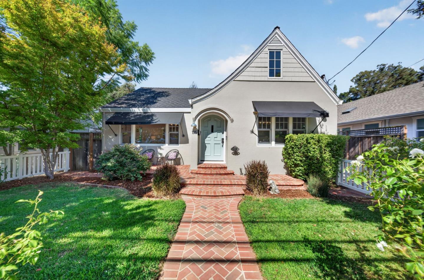
Six homes hit the Los Gatos MLS on September 25, led by a $6.6 million listing; one single-family home closed $50,000 over ask
105 Loma Alta Avenue recorded a sale at $2,550,000, or $1,616 per square foot, on a list price of $2,500,000. Six properties appeared on the MLS the same day, ranging from a $795,000 condo to a $6.6 million single-family home.
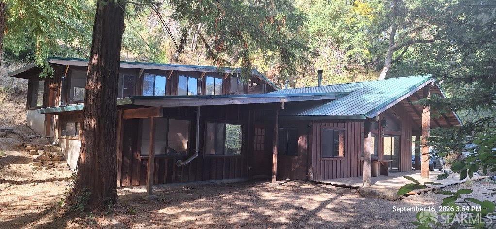
At $450 per square foot, 2505 Bear Canyon Road is the third-cheapest single-family listing in its size class right now
Among 40 active single-family listings of similar size and bedroom count, 2505 Bear Canyon Road ranks third by price. The gap to its peers is not subtle.